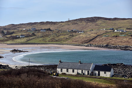
 Clashnessie Bay |
North of Lochinver the single track B869 makes its winding way along the coast to the north, before turning east towards Kylesku. Just north of the village of Stoer, a side road at Totag gives access to the Stoer Peninsula: a rocky projection some two miles wide and four miles long, pointing north-west out into the Minch.
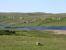
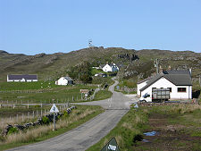
In the centre of the peninsula is the village of Clashmore. During the 1800s this was the location of a model farm established by the Sutherland Estate to demonstrate improved farming methods to local crofters. It was burned down during crofting riots here in 1887. Today it is difficult to imagine that such a beautiful and peaceful location could have been the site of such turmoil.
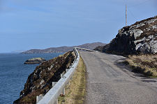
A road heading west from Clashmore leads past Raffin to the car park near the Stoer Head Lighthouse. The lighthouse marks the most westerly point on the peninsula, and the end of the public road. The lighthouse was built by the Stevenson family in 1870 and was automated in 1978.
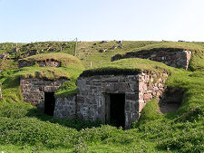
Following the road back to Clashmore and across to the other side of the peninsula brings you to the scattered settlement of Culkein, overlooking the Bay of Culkein. There's a disused pier here and a beach from which you can enjoy the distant views of northern Sutherland. And the observant will notice the very unusual double ice house close to the road as you approach.
Returning to the B869 at Totag you first pass another scattered settlement, Achnacarnin, marked by an imposing red stone building, now sadly derelict, overlooking the road. When in use this was split in two, serving both as a schoolhouse and as the local post office and general merchants. The school currently in use lies a mile or so to the south.
On the B869 itself you find Rhu Stoer Hall, serving the communities of the Stoer Peninsula and of Stoer, a little to the south. Not far away is the Free Presbyterian Church and the Cruachan Guest House. A little further east you pass the attractive sandy beach and rocky shoreline at Clashnessie.
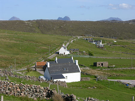 Clashmore from the North-West |

|
|
|
Visitor InformationView Location on Map |
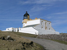 Stoer Head Lighthouse |
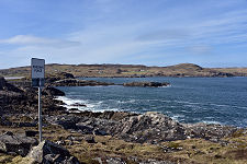
 Looking Towards the Point of Stoer |
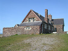 Old Building at Achnacarnin |
 Road Junction at Totag |