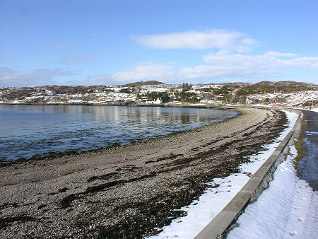
 Inverkirkaig From the South |
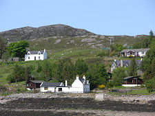
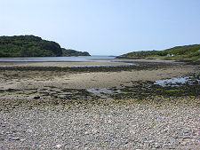
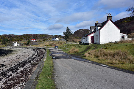
Inverkirkaig is a scattered settlement lying at the head and along the northern side of Loch Kirkaig. This narrow sea loch is contained by rocky headlands and has an entrance punctuated by the tiny islet of Sgeir Mhor. At its head is a broad pebble beach, behind which runs the narrow single track road from Achiltibuie to Lochinver.
A little to the north lie the still smaller settlements of Badnaban and Strathan. Both look out onto the south side of Loch Inver, the former making use of a narrow inlet to protect a slipway. North of Strathan the road passes the attractive Loch Culag en route to Lochinver.
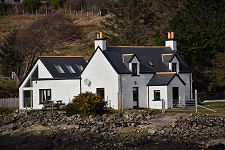
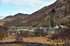
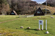
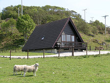
Inverkirkaig itself is a mix of traditional cottages and self catering chalets. The name comes from a combination of Old Norse and Gaelic common in north-west Scotland. (Continues below image...)
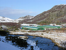
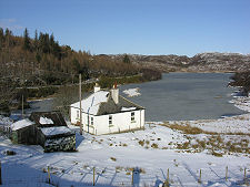
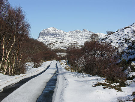
 Inverkirkaig Under March Snow |
Kirkaig has its origins as Kirkju-vik meaning church bay in Old Norse, suggesting that there was a settlement with a church here in Viking times. This explains the naming of Loch Kirkaig, which in turn gave its name to the River Kirkaig, which flows into the loch here. Inver is a common Gaelic prefix, usually meaning the mouth of a river. In this case it means the village that lies at the mouth of the River Kirkaig.
At the south end of Inverkirkaig, the road follows the north bank of the River Kirkaig inland for a short distance before crossing it and heading south-west. The river begins life some three miles inland, where it forms the outflow of Fionn Loch, and indirectly Loch Veyatie and Cam Loch. As a result it is responsible for draining a vast area of this wild and lonely (and wet) land.
A car park close to the bridge over the river provides access to a footpath which follows the north bank of the river inland. After around two miles you come to the Falls of Kirkaig, a spectacular 60 foot torrent dropping into a pool below. Good footwear is recommended for this walk, plus waterproofs given the speed with which weather can turn in this part of the country. Beyond the falls the path continues to Fionn Loch giving access to the rough southern approach to Suilven.
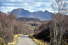
 Suilven Seen from the Minor Road South of Inverkirkaig |

|
|
|
Visitor InformationView Location on MapWhat3Words Location: ///weeps.takers.bound |
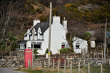 Telephone Box |
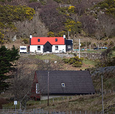 Red Roof or Grey? |
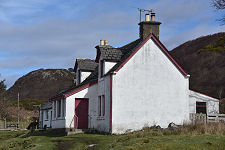 Roadside Cottage |
 Kirkaig Chalets |
 Kirkaig Chalets and Sheep |
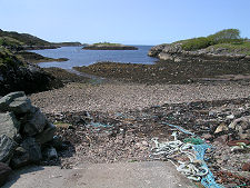 Slipway at Badnaban |